
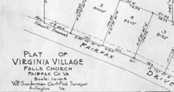
Maps
A collection of maps, including plat maps, from the Falls Church History Room's map case, plat books, and other resoruces.
IN PROGRESS: Scanning for this project is in the early stages. Most of the map collection requires use of a special, oversized scanner; so initially, staff will focus on digtizing smaller items that fit on our in-house tabloid (11 in x 17 in) scanner. Staff are also looking into uploading higher resolution files to enable greater resolution when magnifying specific sections of maps.
More area maps can also be located on the City's geospacial maps page at https://www.fallschurchva.gov/158/Maps.
Your search has also found results in related AM products.
Show me the results